Where Is The Daintree Rainforest? Map, Location And How To Get Oriented
The Daintree sits in the far north-east corner of Australia, roughly 100 to 140 kilometres north of Cairns, where the rainforest runs down the ranges and straight into the Coral Sea. Here is exactly where it is, how the pieces fit, and how to find your bearings before you go.
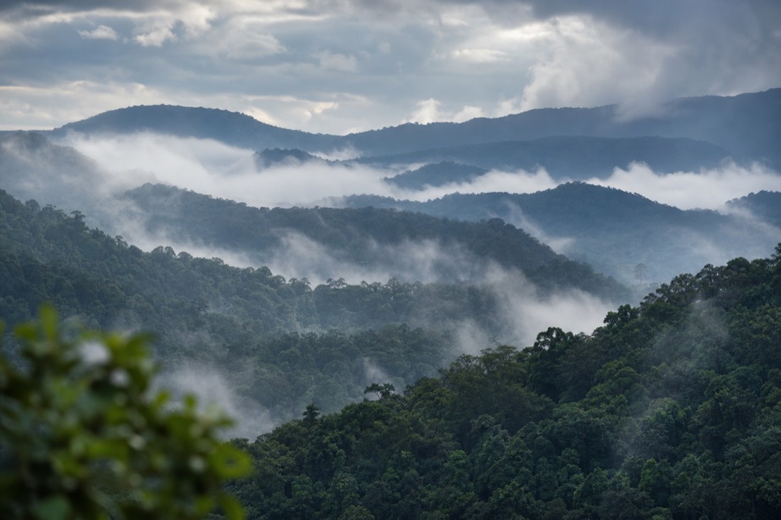
Look at a map of Australia and find the top-right corner, where Queensland tapers toward Cape York. The Daintree sits on that coast, a band of rainforest that spills down the ranges and meets the sea north of a town called Mossman. It is remote enough to feel like the edge of the country, yet close enough to a major airport that you can be walking under the canopy a couple of hours after you land.
Booking Choice: For a first Daintree overview, this nine-hour shared tour combines a river cruise, ferry, rainforest and beach walks, Cape Tribulation, lunch and listed pickups; Southside Cairns guests must meet at the operator’s office.
Check Dates For The Daintree And Cape Tribulation Day TourThis guide fixes the location precisely, sets out the distances from the two towns most people stay in, explains how the Daintree River splits the region in two, and gives you a simple mental map to carry before you plan the drive. By the end you will know exactly where the Daintree sits, how long it takes to get there, and how the gorge, the river and Cape Tribulation relate to one another on the ground.
At a glance: the drive north from Cairns
Everything strings along one coastal road: Cairns, then Port Douglas, Mossman Gorge, the Daintree River cable ferry, and finally Cape Tribulation.
Where Is The Daintree Rainforest?
The Daintree Rainforest is in Far North Queensland, on Australia's tropical north-east coast, roughly 100 to 140 kilometres north of Cairns. The core national park begins just north of Mossman and extends to Cape Tribulation, where the rainforest runs directly into the Coral Sea. It is the largest continuous stretch of tropical rainforest in Australia.
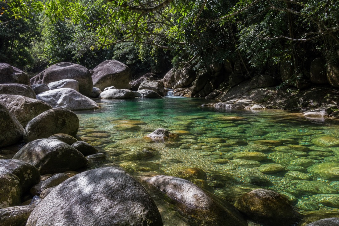
Put more plainly, you drive north from Cairns, pass the resort town of Port Douglas, reach Mossman, and from there the forest takes over. Mossman Gorge is the first and southernmost entry point. Keep going and you cross the Daintree River by cable ferry, after which the road threads through lowland rainforest to Cape Tribulation, the point Captain Cook named in 1770 after his ship struck the reef offshore. Beyond that, the sealed road ends.
The exact distance depends on which part you mean, which is why you will see figures from about 100 to 140 kilometres quoted for the same region. Mossman Gorge is the closest piece, Cape Tribulation the farthest. If you want to fix the timing rather than the mileage, the drive times below are the more useful number, and our companion guide covers how to drive up and cross the cable ferry in detail.
Geographically it sits in the wet tropics of the far north, where the coastal ranges catch the moisture that keeps the forest alive. That setting is the whole point: mountains rising close to the sea, cloud snagging on the peaks, and rainforest running from the ridgelines down to the beach. The result is a place that is genuinely tropical, green year round, and unlike the drier, flatter country you find further south along the Queensland coast.
How Far Is The Daintree From Cairns And Port Douglas?
From Cairns, it is about ninety minutes to Mossman Gorge, close to two hours to the Daintree River ferry, and two to two and a half hours to Cape Tribulation. From Port Douglas you shave off roughly forty-five minutes each way: about twenty minutes to Mossman, an hour to the ferry, and around ninety minutes to Cape Tribulation.
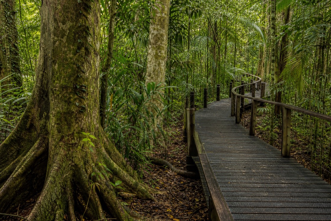
Distance matters here because it eats into your day. A visitor basing in Cairns who wants to reach Cape Tribulation spends four to five hours in the car round trip before doing anything, which is a strong argument for either an early start or a guided trip that turns the drive into part of the experience. Staying in Port Douglas trims that considerably, and it is the reason many people choose it as their base.
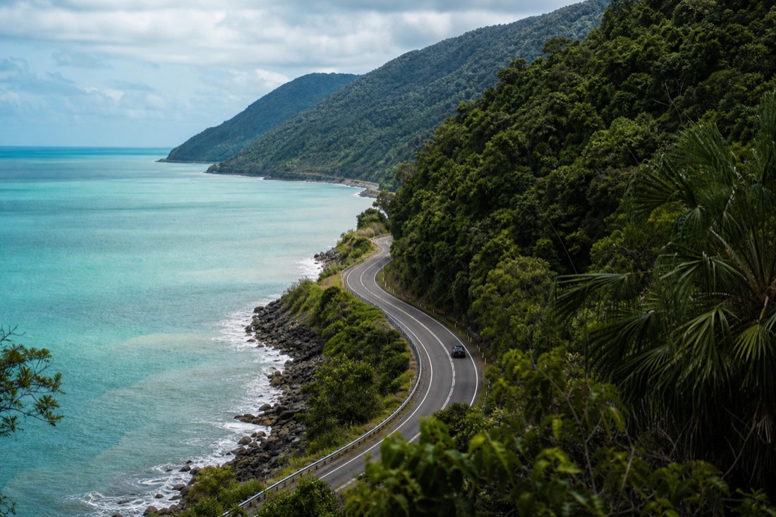
The drive itself is no chore, either. The stretch of the Captain Cook Highway between Cairns and Port Douglas hugs the coast, with the Coral Sea on one side and forested hills on the other, and it is regularly called one of the prettiest coastal drives in the country. Past Mossman the scenery shifts from ocean views to closed-in rainforest, and once you cross the river the road narrows and slows, which is part of the appeal rather than a problem to rush through.
| From | To Mossman Gorge | To the Daintree River ferry | To Cape Tribulation |
|---|---|---|---|
| Cairns | ~1.5 h (about 80 km) | ~1 h 45 (about 105 km) | ~2 to 2.5 h (about 130 km) |
| Port Douglas | ~20 min | ~1 h | ~1.5 h |
The road itself is a sealed coastal highway, the Captain Cook Highway, and a standard rental car handles the whole route as far as Cape Tribulation, ferry included. Four-wheel drive only comes into play on the unsealed Bloomfield Track beyond Cape Trib, which is a separate adventure covered in our guide to the Bloomfield Track and off-road country.
What Is The Nearest Airport, And How Do You Get There?
Cairns Airport is the gateway, about six kilometres from Cairns city centre. It takes direct domestic flights from Sydney, Melbourne and Brisbane, and international arrivals via hubs such as Singapore, Auckland and Tokyo. From the airport you pick up a hire car, arrange a transfer, or join a guided day tour that collects you and drives north.
There is no airport at the Daintree itself, and there does not need to be. Cairns is a full-sized regional airport, so most people fly in there, spend a night or two on the coast, and make the Daintree a day trip or a short overnight. If you land and want to go straight up, a hire car gives you the most freedom, while a guided tour removes the driving and the ferry logistics entirely.
Public transport is thin. There is a limited bus service toward Port Douglas and beyond, but it is slow and not practical for a full day in the forest, so plan around a car or an organised tour rather than timetabled buses. The day trips gathered by Daintree Rainforest Tours all begin from Cairns or Port Douglas, so where you base yourself decides how much of your day is spent looking at road.
| Element | Detail |
|---|---|
| Nearest airport | Cairns (CNS), about 6 km from the city centre |
| Domestic flights | Direct from Sydney, Melbourne and Brisbane |
| International arrivals | Via hubs such as Singapore, Auckland and Tokyo |
| Getting north from the airport | Hire car, private transfer, or guided-tour pickup |
| The drive itself | Sealed Captain Cook Highway; 4WD only for the Bloomfield Track |
For most itineraries a hire car earns its keep, because it lets you stop for a cassowary by the road or linger at a lookout. If the idea of the narrow, winding section beyond the ferry does not appeal, though, a guided day is the low-stress option, and the guide's commentary turns the two-hour drive into part of the story rather than dead time behind the wheel.
Cairns Airport is an arrival point, not a pickup promised by these day tours. Arrange airport transport separately and confirm where your selected tour begins.
Cairns Or Port Douglas: Which Town Do You Base In?
Cairns is the bigger hub, with more flights, more accommodation and more to do in the evenings, but it adds close to an hour of driving each way to the Daintree. Port Douglas is smaller, has a resort feel, and sits about an hour north of Cairns, which puts it noticeably closer to the forest. For day-tripping the Daintree, Port Douglas is the more convenient base.
Both work, and the right pick depends on the shape of your trip. If the Daintree is one highlight among reef trips, restaurants and city comforts, Cairns keeps everything in reach. If the rainforest is the main event and you would rather wake up close to it, Port Douglas, roughly sixty-seven kilometres north of Cairns, saves you the daily commute and swaps a busy city for a relaxed coastal town. We weigh the two in full in the guide to weighing a Cairns base against Port Douglas.
There is a third option that suits people whose main interest is the forest itself: stay a night on the northern side of the river, at Cow Bay or Cape Tribulation. That puts you inside the rainforest after the day tours have gone home, when cassowaries wander the roadsides at dawn and the night comes alive with frogs and possums. It is a different kind of trip, quieter and slower, and it changes the location from a place you visit to a place you sleep in.
| Cairns | Port Douglas | |
|---|---|---|
| Distance to the Daintree | Farther, adds ~45 min each way | Closer to the forest |
| Size and feel | Bigger city, more nightlife | Small resort town, relaxed |
| Accommodation and flights | Widest choice | Fewer options, more resort-style |
| Best for | A varied Far North Queensland trip | A Daintree-focused stay |
How Does The Daintree River Split The Region In Two?
The Daintree River is the natural dividing line. South of it lie Mossman, Mossman Gorge and Daintree Village, all reached on the sealed road with no crossing. To go north toward Cape Tribulation you cross the river on a cable ferry, the only vehicle crossing, after which the country feels wilder, more remote and less developed.
Think of the river as a threshold. The southern side is the gentle introduction: an easy drive, the gorge, the small riverside village where the wildlife cruises depart. Once you roll onto the cable ferry and cross to the northern side, the character changes. Power and services thin out, the road narrows and winds, and the rainforest closes in on both sides all the way to Cape Tribulation. The crossing itself is short, a few minutes on a cable-guided punt, but it can queue on busy weekends, which is worth timing around.
The fare and timetable move over time, so we do not quote a hard figure here; our post on how the ferry fare works and how to check it explains where to find the current rate before you go. Guided day tours travelling from south of the river to Cape Tribulation may include the crossing, but confirm the selected itinerary before booking.
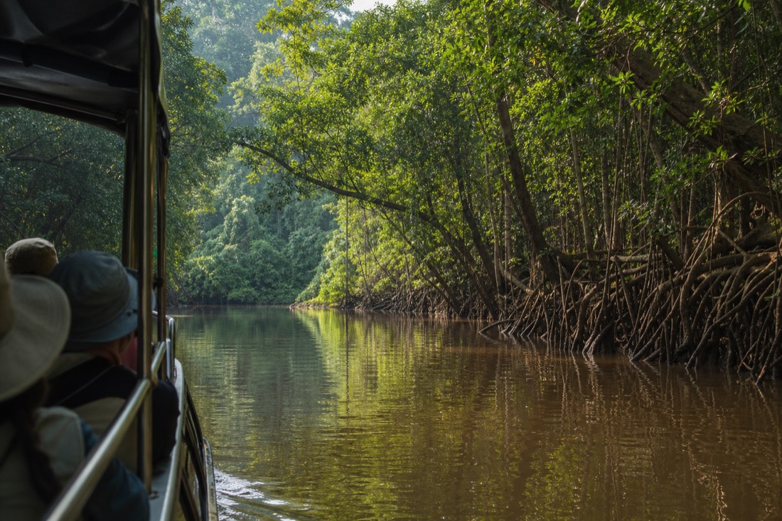
The river is also where a lot of the wildlife lives, which is why the village on its southern bank is the launch point for the cruises. On the water you are looking for estuarine crocodiles on the banks and kingfishers, herons and sea eagles along the mangrove edges. That is a very different experience from the forest walks, and many people rate a slow hour on the river among the highlights of the whole region.
| South of the river | North of the river (Cape Trib side) | |
|---|---|---|
| Access | Sealed road, no ferry needed | Reached only by the cable ferry |
| Main places | Mossman Gorge, Daintree Village, river cruises | Cow Bay, Cooper Creek, Cape Tribulation, beaches |
| Feel | A gentle introduction | Remote, wilder, reef meets rainforest |
| Roads | Sealed throughout | Sealed to Cape Trib, then unsealed beyond |
What Are The Main Areas Of The Daintree?
The region breaks into a handful of areas along one road: Mossman Gorge and Daintree Village on the southern side, then Cow Bay, Cooper Creek and Cape Tribulation on the northern side across the ferry. Cooper Creek holds some of the most ancient lowland forest, and Cape Tribulation is the end of the sealed road, where rainforest meets the reef.
Getting these names straight makes planning far easier, because tours and accommodation are described by area. Mossman Gorge is the boardwalk-and-river entry point, on Kuku Yalanji country, and you can read what to do there in our guide to what to see at Mossman Gorge. Queensland Parks and Wildlife Service advises that swimming there is not recommended because currents and submerged hazards are unpredictable. Daintree Village is the small town on the river where the wildlife cruises leave from. Across the ferry, Cow Bay has beaches and the area's main interpretive attraction, Cooper Creek runs through deep old lowland forest, and Cape Tribulation is the scenic climax, described in our guide to the Cape Tribulation stretch of coast.
One name that confuses people is the town of Daintree itself, the small village upstream, versus the Daintree Rainforest as a whole, which is the far larger protected area running north to Cape Tribulation. When a tour says it visits the Daintree, it almost always means the forest and the Cape Tribulation side, not the village, though many trips do include a cruise that departs near it. Keep the village and the wider forest separate in your mind and the itineraries line up cleanly.
| Area | Side of the river | What is there |
|---|---|---|
| Mossman Gorge | South | Boardwalks, granite boulders, river views and Kuku Yalanji country; swimming is not recommended by QPWS |
| Daintree Village | South, on the river | Wildlife river cruises, a small town, cafes |
| Cow Bay | North | Beaches, rainforest, the area's interpretive centre |
| Cooper Creek | North | Ancient lowland forest, wildlife-rich creek |
| Cape Tribulation | North, end of the sealed road | Reef meets rainforest, boardwalks, quiet beaches |
Why Is This One Of The Most Special Locations On Earth?
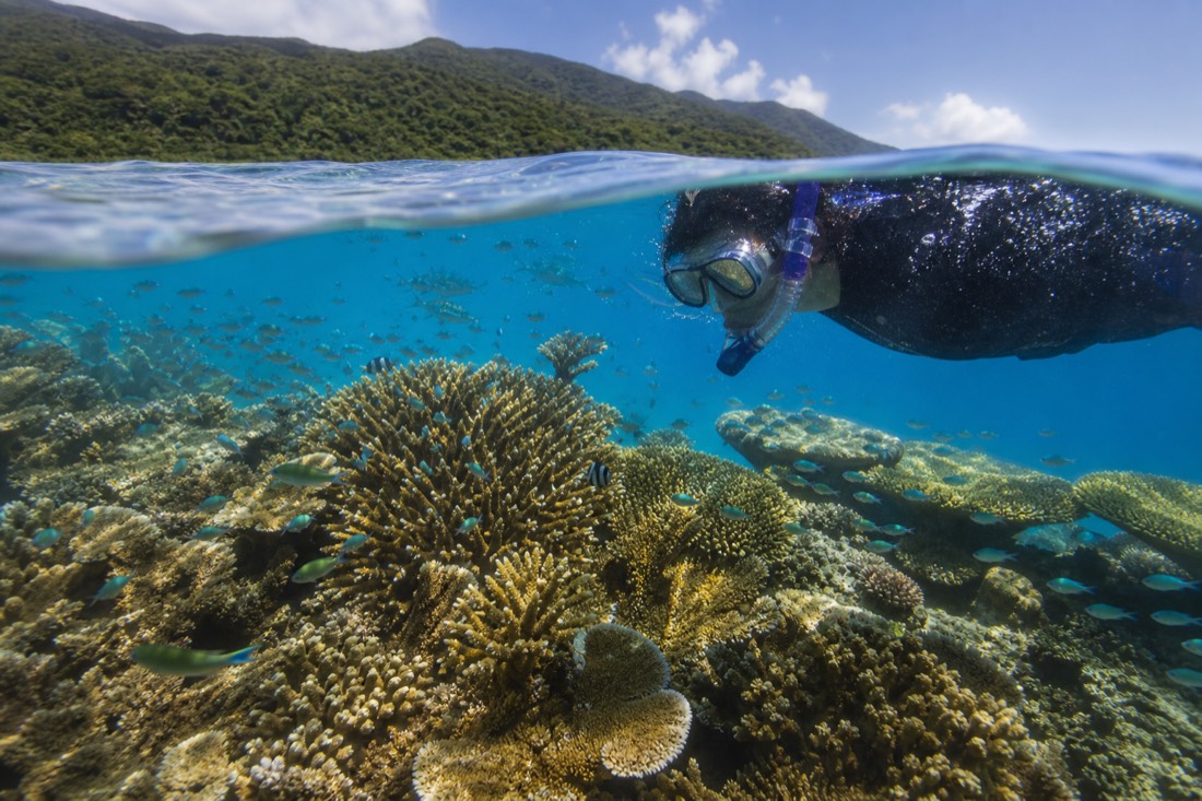
Cape Tribulation is repeatedly called the only place on the planet where two UNESCO World Heritage Areas meet at the shoreline: the Wet Tropics of Queensland rainforest and the Great Barrier Reef Marine Park. You can stand on a rainforest beach with ancient forest at your back and coral reef offshore, a pairing found nowhere else in this form.
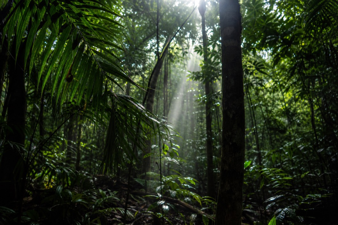
That is the headline fact that makes the location matter, and it is not marketing. The rainforest belongs to the UNESCO World Heritage-listed Wet Tropics, a forest whose plant lineages trace back over 180 million years to the ancient supercontinent of Gondwana. The reef, visible from the beach and cited as roughly fifteen kilometres offshore at Cape Trib, is its own World Heritage icon. Where they touch, at that shoreline, is the geographic hook of the whole region.
It is the reason a Daintree trip so often pairs forest and reef in the same visit. If snorkelling straight off a rainforest coast appeals, our guide to reaching the reef from Cape Tribulation shows how the two halves fit together in a single trip. Both the Wet Tropics Management Authority and Tourism Australia are useful for the wider context of what is protected here.
The significance is not only scenic, it is scientific. The forest holds plant families with no living relatives anywhere else on the planet, survivors from a far older world, which is part of why the whole Wet Tropics belt was granted World Heritage status. Standing where that ancient forest meets a living coral reef is the kind of thing that reads as hyperbole until you are actually on the beach at Cape Tribulation looking at both at once.
How Should A First-timer Orient The Visit?
Fly into Cairns, base yourself in Cairns or Port Douglas, then travel north through Port Douglas and Mossman to Mossman Gorge, cross the Daintree River on the cable ferry, and continue through Cow Bay and Cooper Creek to Cape Tribulation. You can do the highlights in a single day, or stay a night in the forest for a fuller experience.
The whole region reads from south to north along one road, so orient yourself that way and it stops feeling complicated. Everything sits on a line: airport, coastal towns, gorge, river, then Cape Tribulation at the far end. Hold that sequence in your head and any tour itinerary or accommodation listing will make immediate sense.
A first day usually works best as a loop of the classic stops rather than a race to the far end. Mossman Gorge in the cool of the morning, the river cruise near the middle of the day, and Cape Tribulation's boardwalks and beach in the afternoon is a rhythm that a lot of tours follow for good reason. Starting early may reduce congestion, but coach arrivals, ferry queues and traffic vary by day.
| Step | What you do |
|---|---|
| 1 | Fly into Cairns Airport |
| 2 | Base in Cairns or, closer, Port Douglas |
| 3 | Head north through Port Douglas and Mossman |
| 4 | Stop at Mossman Gorge, the southern entry point |
| 5 | Cross the Daintree River on the cable ferry |
| 6 | Continue to Cow Bay, Cooper Creek and Cape Tribulation |
| 7 | Return the same day, or stay a night in the forest |
How much you fit in comes down to time, and our post on how long to spend up here lays out what one day, two days or longer each buys you. If you would rather someone else handle the driving and the ferry, a full-day Cape Tribulation tour covers the classic route, while a 4WD adventure up from Cairns adds the rougher country to the north.
How Does The Daintree Fit Into Far North Queensland?
The Daintree is the northern rainforest highlight of the Cairns region, sitting above Port Douglas and the Great Barrier Reef, and separate from the mountain rainforest and village of Kuranda inland from Cairns. Most trips combine the Daintree with a reef day and, sometimes, Kuranda, since all three are within a couple of hours of the same airport.
It helps to see the wider layout. Cairns is the anchor. Straight offshore is the Great Barrier Reef. Inland and uphill, reached by a scenic railway and cableway, is Kuranda, a different rainforest experience in the ranges. And north up the coast is the Daintree. They are distinct places with distinct characters, and choosing between the forest options confuses a lot of first-timers, which is why we compare them in the post on how the Daintree compares with Kuranda.
Distances between these three are short by Australian standards. Nothing here is more than a couple of hours from the airport, so a well-planned week can take in the reef, the Daintree and the ranges without any long-haul driving. That density of very different landscapes in a small area is unusual, and it is why the far-north corner packs so much into a single trip.
For a visitor with limited days, the practical takeaway is that the Daintree pairs naturally with a reef trip and sits a comfortable distance from a well-connected airport. That combination, ancient rainforest and living coral reef within reach of the same base, is what draws people this far north in the first place. If you want the gentlest introduction on the ground, the small-group Mossman Gorge tour from Port Douglas starts you at the southern gateway, and the best-time-of-year question is answered in our guide to the best time of year to come.